May 1, 2024
Updated May 9, 2025
22 minute read
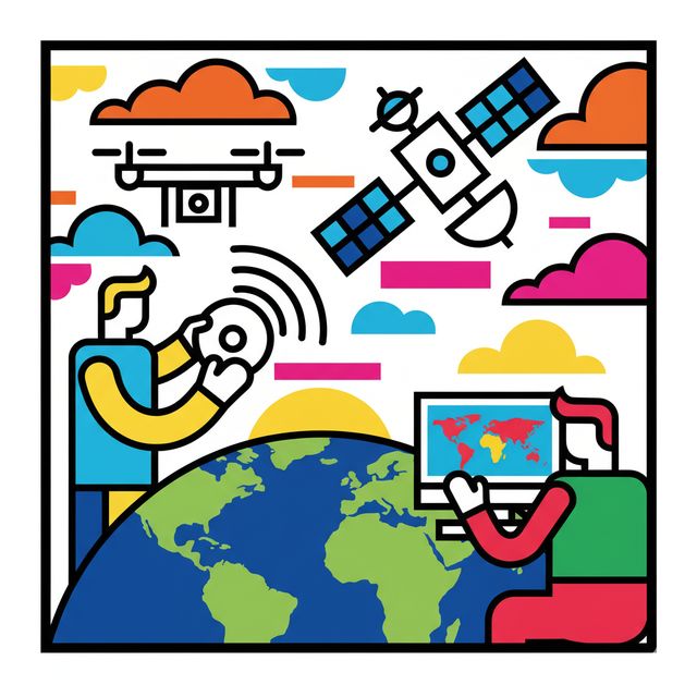
Remote Sensing is the science and art of acquiring information about an object or phenomenon without making physical contact with it. In essence, it's like seeing and measuring things from a distance. This field primarily involves detecting and monitoring the physical characteristics of an area by measuring its reflected and emitted radiation, typically from satellites or aircraft. Think of special cameras on these platforms capturing images that help researchers understand various aspects of the Earth. This technology allows us to observe our planet and other celestial bodies using instruments that detect and record energy, providing a wealth of data.
Working in remote sensing can be quite engaging. Imagine using cutting-edge technology like satellites and aircraft to break down complex data from sensors into understandable formats. Professionals in this field might track environmental shifts due to human activity, map land use changes in vital ecosystems like rainforests, or develop solutions for agricultural systems. The ability to collect data from hazardous or inaccessible areas is another exciting aspect, enabling tasks like monitoring deforestation in the Amazon Basin or studying glacial features in polar regions.
Introduction to Remote Sensing
This section will delve into the foundational aspects of remote sensing, making it accessible even if you're new to the field. We'll explore what remote sensing is, how it evolved, its diverse applications, and the typical journey from data collection to insightful analysis.
Definition and Core Principles
apcdxh|
Find a path to becoming a Remote Sensing. Learn more at:
OpenCourser.com/topic/apcdxh/remote
Reading list
We've selected seven books
that we think will supplement your
learning. Use these to
develop background knowledge, enrich your coursework, and gain a
deeper understanding of the topics covered in
Remote Sensing.
This textbook provides a comprehensive overview of the field of remote sensing and image processing. It is suitable for both undergraduate and graduate students, as well as professionals in the field.
This textbook provides a comprehensive overview of the field of remote sensing and GIS, focusing on their applications in environmental monitoring. It is suitable for both undergraduate and graduate students, as well as professionals in the field.
This textbook provides a comprehensive overview of the field of remote sensing, focusing on the interpretation of remotely sensed images. It is suitable for both undergraduate and graduate students, as well as professionals in the field.
This textbook provides a comprehensive overview of the field of remote sensing of the atmosphere. It is suitable for both undergraduate and graduate students, as well as professionals in the field.
This textbook provides a comprehensive overview of the field of remote sensing of the oceans. It is suitable for both undergraduate and graduate students, as well as professionals in the field.
This textbook provides a comprehensive overview of the field of remote sensing and geospatial technologies for coastal ecosystem assessment and management. It is suitable for both undergraduate and graduate students, as well as professionals in the field.
This textbook provides a comprehensive overview of the field of remote sensing and the environment. It is suitable for both undergraduate and graduate students, as well as professionals in the field.
For more information about how these books relate to this course, visit:
OpenCourser.com/topic/apcdxh/remote