

By the end of this project, you will be able to load, visualize, manipulate and perform both simple and grouped operations over geospatial multidimensional data through Xarray and Python.
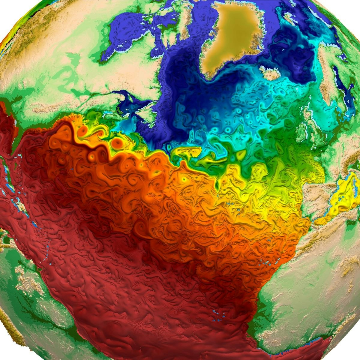
We'll explore an dataset containing temperature, vegetation density and total precipitation over the Brazilian Amazon for the 1979-2019 period while the concepts are developed.
This will enable the learner to handle and extract knowledge from complex datasets such as the ones from satellite and climate re-analysis observations.
Read more
By the end of this project, you will be able to load, visualize, manipulate and perform both simple and grouped operations over geospatial multidimensional data through Xarray and Python.
We'll explore an dataset containing temperature, vegetation density and total precipitation over the Brazilian Amazon for the 1979-2019 period while the concepts are developed.
This will enable the learner to handle and extract knowledge from complex datasets such as the ones from satellite and climate re-analysis observations.
Note: This course works best for learners who are based in the North America region. We’re currently working on providing the same experience in other regions.
What's inside
Syllabus
Good to know
Save this course
Reviews summary
Well-received climate course
Activities
Watch tutorials on geospatial data analysis
Show steps
Watching tutorials on geospatial data analysis will help you learn the basics of the subject and prepare you for the concepts that will be covered in this course.
Browse courses on
Geospatial Data Analysis
Show steps
-
Find some tutorials on geospatial data analysis.
-
Watch the tutorials.
-
Take notes on the key concepts.
Read a book on geospatial data analysis
Show steps
Review some of the fundamental concepts of geospatial data analysis prior to taking this course. This will strengthen your foundational knowledge and help better prepare you for success when this course begins.
View
Geospatial Analysis
on Amazon
Show steps
-
Purchase the book.
-
Set aside time each week to read the book.
-
Take notes as you read.
-
Complete the exercises at the end of each chapter.
Practice using geospatial data analysis tools
Show steps
Practicing using geospatial data analysis tools will help you develop the skills you need to succeed in this course.
Browse courses on
Geospatial Data Analysis
Show steps
-
Find some tutorials on geospatial data analysis tools.
-
Follow the tutorials and complete the exercises.
-
Experiment with the tools on your own.
Five other activities
Expand to see all activities and additional details
Show all eight activities
Attend a workshop on geospatial data analysis
Show steps
Attending a workshop on geospatial data analysis will help you learn more about the subject and network with other professionals in the field.
Browse courses on
Geospatial Data Analysis
Show steps
-
Find a workshop on geospatial data analysis.
-
Attend the workshop.
-
Participate in the discussions.
-
Network with the other attendees.
Start a project using geospatial data
Show steps
Starting a project that uses geospatial data will help you apply the concepts of the course and reinforce what you learn.
Browse courses on
Geospatial Data Analysis
Show steps
-
Choose a project idea.
-
Gather the data you need.
-
Clean and prepare the data.
-
Analyze the data.
-
Visualize the data.
Create a data visualization or map using geospatial data
Show steps
Creating a data visualization or map using geospatial data will help you apply the concepts of the course and reinforce what you learn.
Browse courses on
Geospatial Data Analysis
Show steps
-
Choose a dataset.
-
Clean and prepare the data.
-
Choose a visualization tool.
-
Create your visualization.
Create a blog post or tutorial on a geospatial data analysis topic
Show steps
Creating a blog post or tutorial on a geospatial data analysis topic will help you reinforce your understanding of the concepts and share your knowledge with others.
Browse courses on
Geospatial Data Analysis
Show steps
-
Choose a topic.
-
Do some research.
-
Write your post or tutorial.
-
Publish your post or tutorial.
Attend a networking event for geospatial professionals
Show steps
Attending a networking event for geospatial professionals will help you connect with others in the field and learn about potential job opportunities.
Browse courses on
Geospatial Data Analysis
Show steps
-
Find a networking event for geospatial professionals.
-
Attend the event.
-
Introduce yourself to other attendees.
-
Talk to people about your interests and goals.
Watch tutorials on geospatial data analysis
Show steps
Watching tutorials on geospatial data analysis will help you learn the basics of the subject and prepare you for the concepts that will be covered in this course.
Browse courses on
Geospatial Data Analysis
Show steps
- Find some tutorials on geospatial data analysis.
- Watch the tutorials.
- Take notes on the key concepts.
Read a book on geospatial data analysis
Show steps
Review some of the fundamental concepts of geospatial data analysis prior to taking this course. This will strengthen your foundational knowledge and help better prepare you for success when this course begins.
View
Geospatial Analysis
on Amazon
Show steps
- Purchase the book.
- Set aside time each week to read the book.
- Take notes as you read.
- Complete the exercises at the end of each chapter.
Practice using geospatial data analysis tools
Show steps
Practicing using geospatial data analysis tools will help you develop the skills you need to succeed in this course.
Browse courses on
Geospatial Data Analysis
Show steps
- Find some tutorials on geospatial data analysis tools.
- Follow the tutorials and complete the exercises.
- Experiment with the tools on your own.
Attend a workshop on geospatial data analysis
Show steps
Attending a workshop on geospatial data analysis will help you learn more about the subject and network with other professionals in the field.
Browse courses on
Geospatial Data Analysis
Show steps
- Find a workshop on geospatial data analysis.
- Attend the workshop.
- Participate in the discussions.
- Network with the other attendees.
Start a project using geospatial data
Show steps
Starting a project that uses geospatial data will help you apply the concepts of the course and reinforce what you learn.
Browse courses on
Geospatial Data Analysis
Show steps
- Choose a project idea.
- Gather the data you need.
- Clean and prepare the data.
- Analyze the data.
- Visualize the data.
Create a data visualization or map using geospatial data
Show steps
Creating a data visualization or map using geospatial data will help you apply the concepts of the course and reinforce what you learn.
Browse courses on
Geospatial Data Analysis
Show steps
- Choose a dataset.
- Clean and prepare the data.
- Choose a visualization tool.
- Create your visualization.
Create a blog post or tutorial on a geospatial data analysis topic
Show steps
Creating a blog post or tutorial on a geospatial data analysis topic will help you reinforce your understanding of the concepts and share your knowledge with others.
Browse courses on
Geospatial Data Analysis
Show steps
- Choose a topic.
- Do some research.
- Write your post or tutorial.
- Publish your post or tutorial.
Attend a networking event for geospatial professionals
Show steps
Attending a networking event for geospatial professionals will help you connect with others in the field and learn about potential job opportunities.
Browse courses on
Geospatial Data Analysis
Show steps
- Find a networking event for geospatial professionals.
- Attend the event.
- Introduce yourself to other attendees.
- Talk to people about your interests and goals.
Career center
Forest Ecologist
Atmospheric Scientist
Geographer
Remote Sensing Scientist
Meteorologist
Oceanographer
Environmental Scientist
Soil Scientist
Environmental Engineer
Hydrologist
Water Resources Engineer
Wildlife Biologist
Research Scientist
GIS Specialist
Urban Planner
Reading list
Share
Similar courses
OpenCourser helps millions of learners each year. People visit us to learn workspace skills, ace their exams, and nurture their curiosity.
Our extensive catalog contains over 50,000 courses and twice as many books. Browse by search, by topic, or even by career interests. We'll match you to the right resources quickly.
Find this site helpful? Tell a friend about us.
We're supported by our community of learners. When you purchase or subscribe to courses and programs or purchase books, we may earn a commission from our partners.
Your purchases help us maintain our catalog and keep our servers humming without ads.
Thank you for supporting OpenCourser.