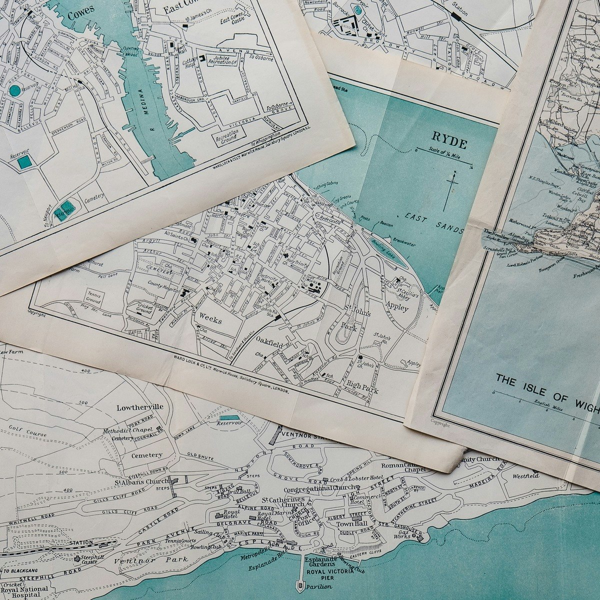


Am Ende dieses Projekts wirst du mit ein paar Grundlagen der räumlichen Datenanalyse in GeoDa vertraut sein. Zum Beispiel wirst du lernen, wo du die Software und kostenlose Datensätze finden kannst. Außerdem erhältst du eine Einführung in die Software und lernst, wie man mehrere Daten-Layer in eine Karte einfügt. Die räumliche Datenanalyse hat über die letzten Jahrzehnte stets an Bedeutung zugenommen. Die Anfänge sind oft auf John Snow’s Karten, welche die Cholera Epidemie im 18. Jahrhundert veranschaulichen, zurückzuführen. Heutzutage wird die räumliche Datenanalyse in vielen verschiedenen Aufgabenfeldern verwendet, wie zum Beispiel für die Planung von Städten und Infrastruktur, um Verbrechen zu visualisieren und für das Notfallmanagement. In 2003 haben Dr. Luc Anselin und sein Team an der University of Chicago GeoDa entwickelt, um eine kostenlose Software zur Verfügung zu stellen, die hilft die altmodischen Stecknadelkarten zu digitalisieren.
Here's a deal for you
What's inside
Syllabus
Traffic lights
Save this course
Reviews summary
Einstieg in geoda für raumdatenanalyse
Activities
Überblick: Wo findet man GeoDa und kostenlose Datensätze?
Show steps
Diese Aktivität wird dabei helfen, die Software und kostenlose Datensätze für GeoDa zu finden und zu laden, was eine solide Grundlage für die Arbeit mit räumlichen Daten in GeoDa schafft.
Browse courses on
GeoDa
Show steps
-
Besuche die offizielle GeoDa-Website und lade die für dein Betriebssystem geeignete Version herunter.
-
Suche nach kostenlosen Geodatenquellen online. Einige empfohlene Websites sind die US-amerikanische Volkszählung und das National Center for Health Statistics.
-
Lade die Datensätze herunter, die du für deine Analysen verwenden möchtest, und speichere sie an einem leicht zugänglichen Ort auf deinem Computer.
Einführung in GeoDa: Eine geführte Tour durch die Software
Show steps
Diese Aktivität bietet eine praktische Einführung in die GeoDa-Software und ihre grundlegenden Funktionen. Sie hilft dabei, sich mit der Benutzeroberfläche vertraut zu machen und die ersten Schritte mit räumlichen Datenanalysen zu unternehmen.
Browse courses on
GeoDa
Show steps
-
Öffne GeoDa und erkunde die Benutzeroberfläche. Mache dich mit den verschiedenen Menüs, Symbolleisten und Fenstern vertraut.
-
Importiere einen Datensatz in GeoDa und visualisiere die Daten auf einer Karte. Erkunde die verschiedenen Kartenoptionen und -einstellungen.
-
Füge zusätzliche Daten-Layer zur Karte hinzu und erkunde die verschiedenen Möglichkeiten, Daten zu überlagern und zu analysieren.
GeoDa-Kenntnisse auffrischen
Show steps
Die Auffrischung Ihrer GeoDa-Kenntnisse wird Ihnen helfen, die Konzepte und Methoden dieses Kurses besser zu verstehen.
Browse courses on
GeoDa
Show steps
-
Überprüfen Sie die GeoDa-Dokumentation.
-
Arbeiten Sie einige einfache GeoData-Tutorials durch.
Three other activities
Expand to see all activities and additional details
Show all six activities
Navigieren in GeoDa
Show steps
Diese geführten Tutorials helfen Ihnen, sich in GeoDa zurechtzufinden, was das Verständnis des Kursthemas erleichtert.
Show steps
-
Schauen Sie sich ein Tutorial-Video zur Einführung in GeoDa an.
-
Laden Sie die GeoDa-Software herunter und installieren Sie sie.
-
Öffnen Sie GeoDa und führen Sie das Beispieldaten-Tutorial durch.
Zusätzliche GeoDa-Tutorials
Show steps
Die Durchführung zusätzlicher GeoDa-Tutorials wird Ihre Fähigkeiten in der räumlichen Datenanalyse verbessern.
Browse courses on
GeoDa
Show steps
-
Finden Sie Tutorials, die sich auf spezifische Themen konzentrieren, für die Sie mehr Übung benötigen.
-
Arbeiten Sie die Tutorials Schritt für Schritt durch.
Übungsaufgaben zur räumlichen Datenanalyse
Show steps
Das Durcharbeiten von Übungsaufgaben zur räumlichen Datenanalyse wird Ihre Problemlösungskompetenzen verbessern.
Browse courses on
GeoDa
Show steps
-
Finden Sie Übungsaufgaben online oder in Lehrbüchern.
-
Lösen Sie die Übungsaufgaben самостоятельно.
-
Überprüfen Sie Ihre Antworten anhand der bereitgestellten Lösungen.
Überblick: Wo findet man GeoDa und kostenlose Datensätze?
Show steps
Diese Aktivität wird dabei helfen, die Software und kostenlose Datensätze für GeoDa zu finden und zu laden, was eine solide Grundlage für die Arbeit mit räumlichen Daten in GeoDa schafft.
Browse courses on
GeoDa
Show steps
- Besuche die offizielle GeoDa-Website und lade die für dein Betriebssystem geeignete Version herunter.
- Suche nach kostenlosen Geodatenquellen online. Einige empfohlene Websites sind die US-amerikanische Volkszählung und das National Center for Health Statistics.
- Lade die Datensätze herunter, die du für deine Analysen verwenden möchtest, und speichere sie an einem leicht zugänglichen Ort auf deinem Computer.
Einführung in GeoDa: Eine geführte Tour durch die Software
Show steps
Diese Aktivität bietet eine praktische Einführung in die GeoDa-Software und ihre grundlegenden Funktionen. Sie hilft dabei, sich mit der Benutzeroberfläche vertraut zu machen und die ersten Schritte mit räumlichen Datenanalysen zu unternehmen.
Browse courses on
GeoDa
Show steps
- Öffne GeoDa und erkunde die Benutzeroberfläche. Mache dich mit den verschiedenen Menüs, Symbolleisten und Fenstern vertraut.
- Importiere einen Datensatz in GeoDa und visualisiere die Daten auf einer Karte. Erkunde die verschiedenen Kartenoptionen und -einstellungen.
- Füge zusätzliche Daten-Layer zur Karte hinzu und erkunde die verschiedenen Möglichkeiten, Daten zu überlagern und zu analysieren.
GeoDa-Kenntnisse auffrischen
Show steps
Die Auffrischung Ihrer GeoDa-Kenntnisse wird Ihnen helfen, die Konzepte und Methoden dieses Kurses besser zu verstehen.
Browse courses on
GeoDa
Show steps
- Überprüfen Sie die GeoDa-Dokumentation.
- Arbeiten Sie einige einfache GeoData-Tutorials durch.
Navigieren in GeoDa
Show steps
Diese geführten Tutorials helfen Ihnen, sich in GeoDa zurechtzufinden, was das Verständnis des Kursthemas erleichtert.
Show steps
- Schauen Sie sich ein Tutorial-Video zur Einführung in GeoDa an.
- Laden Sie die GeoDa-Software herunter und installieren Sie sie.
- Öffnen Sie GeoDa und führen Sie das Beispieldaten-Tutorial durch.
Zusätzliche GeoDa-Tutorials
Show steps
Die Durchführung zusätzlicher GeoDa-Tutorials wird Ihre Fähigkeiten in der räumlichen Datenanalyse verbessern.
Browse courses on
GeoDa
Show steps
- Finden Sie Tutorials, die sich auf spezifische Themen konzentrieren, für die Sie mehr Übung benötigen.
- Arbeiten Sie die Tutorials Schritt für Schritt durch.
Übungsaufgaben zur räumlichen Datenanalyse
Show steps
Das Durcharbeiten von Übungsaufgaben zur räumlichen Datenanalyse wird Ihre Problemlösungskompetenzen verbessern.
Browse courses on
GeoDa
Show steps
- Finden Sie Übungsaufgaben online oder in Lehrbüchern.
- Lösen Sie die Übungsaufgaben самостоятельно.
- Überprüfen Sie Ihre Antworten anhand der bereitgestellten Lösungen.
Career center
City Planner
Urban Designer
Geographer
Environmental Scientist
Transportation Planner
GIS Analyst
Data Scientist
Statistician
Epidemiologist
Public Health Analyst
Market Researcher
Crime Analyst
Emergency Manager
Cartographer
Surveyor
Reading list
Share
Similar courses
OpenCourser helps millions of learners each year. People visit us to learn workspace skills, ace their exams, and nurture their curiosity.
Our extensive catalog contains over 50,000 courses and twice as many books. Browse by search, by topic, or even by career interests. We'll match you to the right resources quickly.
Find this site helpful? Tell a friend about us.
We're supported by our community of learners. When you purchase or subscribe to courses and programs or purchase books, we may earn a commission from our partners.
Your purchases help us maintain our catalog and keep our servers humming without ads.
Thank you for supporting OpenCourser.